If you do not have the latest version of AutoCAD or have a version that does not contain the OS MasterMap importer, or if you are using another drawing or GIS package that requires the data to be in either DXF or DWG format then you will need to use a third party conversion package.
InterpOSe for Digimap from miso will convert OS MasterMap® Topography Layer downloaded from the Digimap service in to DWG and DXF format for loading into CAD programs.
Note: InterpOSe does not run on Mac computers. InterpOSe does not convert other GML such as Sites Layer, Urban Paths or VML.
InterpOSe for Digimap is typically installed in to the Dotted Eyes folder in the Windows start menu (Start > All Programs > Dotted Eyes). To start the program select 'InterpOSe (Digimap Edition) Processing' from within the Dotted Eyes folder. The splash screen will be displayed; press Next to move to the next screen:
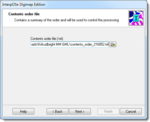
InterpOSe uses the 'contents order' file supplied by Digimap with the MasterMap data to control data processing. Browse to and select the contents order file that was supplied with the data then press Next to move to the next screen:
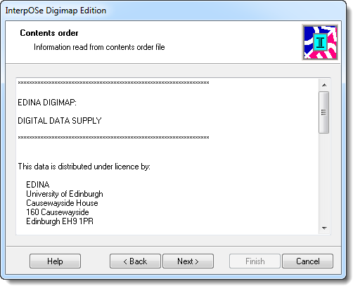
The contents of the selected contents order file are displayed. Press Next to move to the next screen:
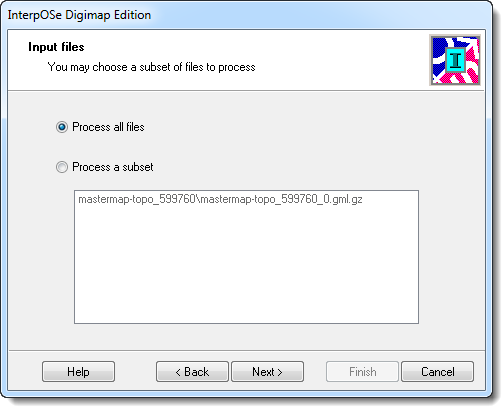
If your order contained more than one file you can choose which files from the order to process. Once you have made your selection press Next to move to the next screen:
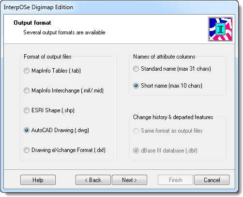
Select an appropriate output format. Most CAD packages are able to read DWG and DXF formats. Once an appropriate selection has been made press Next to move to the next screen:
Select an appropriate AutoCAD version to be output. You need to select the Drawing Template file (.dwt) to use to import the data into. This is supplied with the InterpOSe software and normally gets installed in the Program Files\Dotted Eyes\InterpOSe Digimap\ folder and is called MasterMap.dwt. You can also select whether or not you wish to include any attributes in the output file:
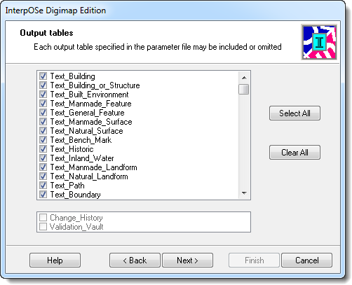
Select the output tables that you wish to include in the translated data. Note: by default, InterpOSe does not convert Area features when converting to DXF/GWF formats. Make sure to use the Select All button to ensure you have all features in the output dataset. Press Next to move to the next screen:
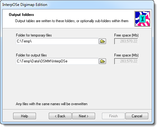
Select appropriate folders for temporary files and output files. Press Next to move to the next screen:
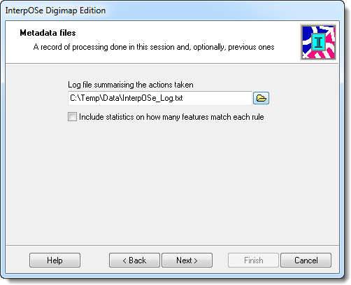
Select a suitable location to store the log file then press Next to move to the next screen:
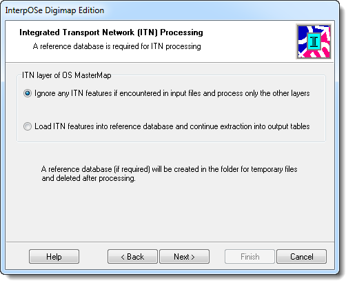
If you are processing ITN data select the appropriate radio button to ensure the data is processed correctly. If your order does not include ITN data leave the 'ignore any ITN features' radio button selected:
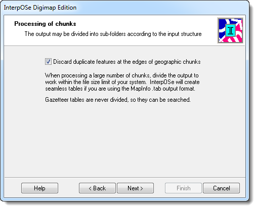
If your order contained multiple GML files you should leave the checkbox selected to 'discard duplicate features at the edges of geographic chunks' to ensure that data processed by the utility does not contain duplicate features.
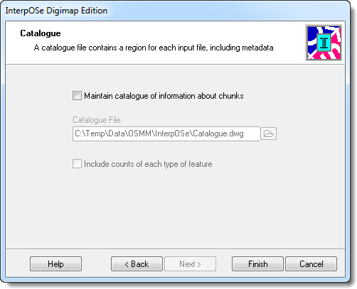
The final screen allows you to choose if a the application maintains a catalogue of information regarding the chunks of data that have been processed. For one off imports this is usually unnecessary so can be left unchecked.
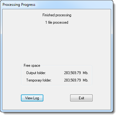
Press the Finish button to start processing the data. Summary information will be displayed once the process has completed:
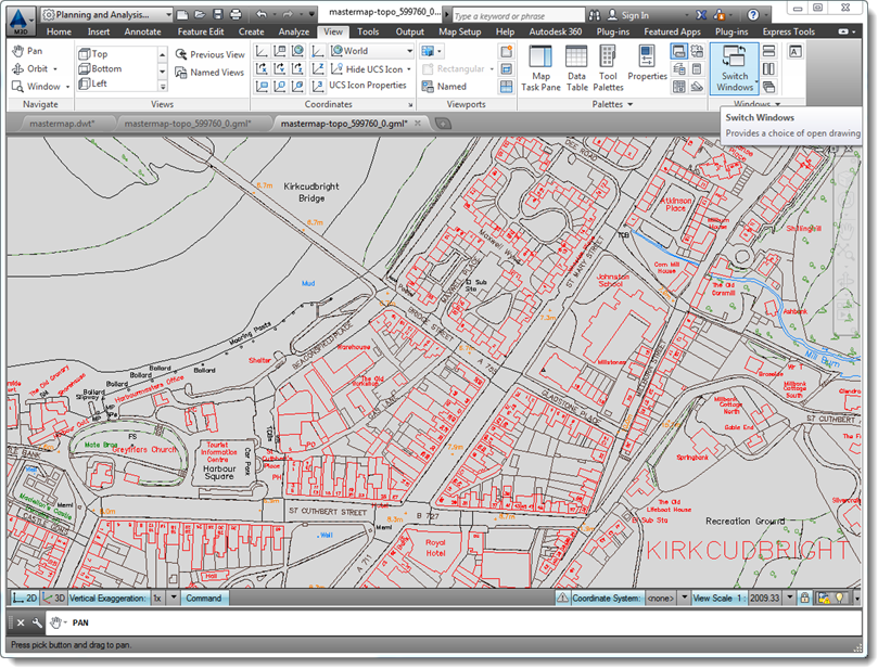
The converted DXF or DWG data can be opened directly and will appear as shown below:
InterpOSe brings in the Area objects as Closed Polylines. To display these as filled areas they need to be converted to polygons using the MAPPOLYLINETOPOLYGON command.