Timeline
The timeline, only in Historic Digimap, shows the availability of historical maps for the current location and scale for each decade.
Timeline basics
- The decade that you are currently viewing is highlighted in blue.
- If a decade has a white background, there is a historical map available.
- Select any decade to view the map.

Activating the timeline
-
When you open Historic Digimap, a contemporary map of GB is shown.
-
To activate the timeline, zoom to or search for a location.
-
If you search for a location with a place name or full postcode, a historical map of your location will be displayed.
-
If you zoom in on your location, you will see several contemporary maps before you reach a historical map - the contemporary maps are to help you find the right location.
-
The first historical map you view after login is the earliest available map for your location and scale. If you zoom in/out from there, Digimap remembers your decade.
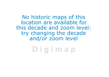
No historic maps…message
-
Your decade selection is retained as you zoom in/out and move around the maps in Historic Digimap.
-
As you zoom in/out, you may find there is no map available in your location for your selected decade.
-
You may see the message shown in the image below; “No historic maps of this location are available for this decade and zoom level: try changing the decade and/or zoom level.”
-
Try a different decade, zoom in/out or pan the map to a new location.

Help video
Select the image below or this text to view our short video.