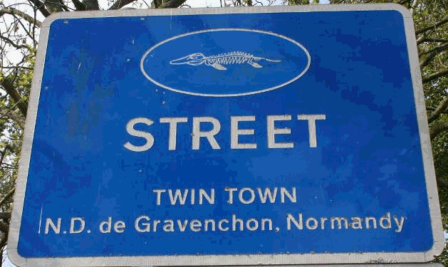
AuthorDr Michael A. Taylor |
Date2009-ongoing |
Project TypeResearch |
SubjectVertebrae palaeontology |
DatasetsBritish Geological Society digital data available at Digimap Ordnance Survey data available at Digimap Somerset Record archives
|
Related SubjectsPalaeoenvironmental studies; geology; geography; Victorian culture; archaeology; local history |
|
Sources: Digimap; Somerset Record archives |
|
|
Dates/Editions: As available |
|
|
Scale: Variable |
|
Publishing InstitutionMike Taylor, Honorary Research Fellow at the School of Museum Studies, University of Leicester |
|
SummaryResearch into the history of the collection of Jurassic marine reptiles (ichthyosaurs, plesiosaurs) and other fossils from the district of Street in Somerset, together with Lyme Regis in Dorset a classic area for the early history of vertebrate palaeontology in the early 19th century. |
|
Aims & Objectives
|
|
MethodologyAs far as maps are concerned, a key problem is that Street had very many separate quarries at different times. The quarries were shallow, easily reclaimed, and temporary. Maps were used to help trace the actual quarries at different times, when show, and the likely/actual sites of former quarries through characteristic land use changes (from farmland to quarrying to reclaimed land used as orchard and more recently as housing). This is of course combined with other evidence from documents and aerial photos. Google Maps air photos shows that it is now used for housing. Mapping the known and likely sites will be used to pinpoint the strata quarried when compared with detailed geological mapping. The pattern shown is a considerable extension of previously published information. It is unexpected and itself needs further explanation. It has forced a reconsideration of what had been believed to be quarry sites in other parts of the village – those may in fact be clay pits of no relevance to this study. More generally, maps are used to check evidence from documentary sources such as census data and to gain a better understanding of the characters’ positions in the landscape and in society. They are also used to check the purported activities of significant characters such as collectors as shown from other evidence (news reports, own writings) and to consider their plausibility and likelihood – for instance the wildly differing newspaper accounts of a riot provoked by one collector. |
|
Results/Outcome
|
|
References & AcknowledgementsWith the tenure of a Visiting Research Fellowship in the Dept of Museum Studies, University of Leicester, and of a Research Associateship. Department of Natural Sciences, National Museums Scotland. Earlier work funded by Leverhulme Trust Research Fellowship and Christopher Welch Trust, University of Oxford. http://repository.nms.ac.uk/285/ and http://repository.nms.ac.uk/287/ Images above contain Ordnance Survey data © Crown copyright and database right (2012) |
|